Roadside Sensing
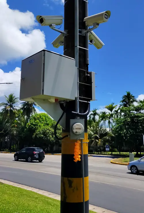
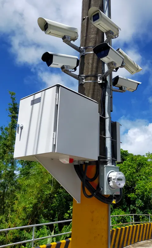
All-weather cameras, plate recognition, vehicle classification, field cabinets and local power.
ACTUAL DFT PROJECTS · CCTV / AI LPR
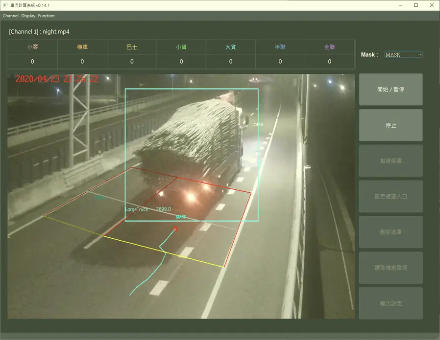
An end-to-end monitoring architecture connecting roadside cameras, AI license-plate and vehicle recognition, fiber transport, digital maps, real-time tracking and control-room operations.
Contact DFT ↗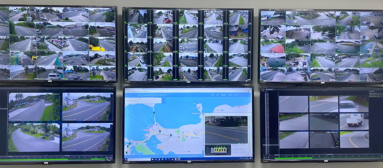 GOVERNMENT AGENCY · MONITORING
DFT APPROACH
DFT project experience covers multiple anonymized government road and urban-monitoring programs in Taiwan, together with parking recognition, fixed-point applications and overseas public-safety deployments.
DFT combines telecom fiber, ELV engineering and platform integration so that cameras, field cabinets, transmission, storage, analytics, maps, permissions, reports and maintenance operate as one system. Agency names, credentials, internal network information and complete case records are not disclosed.
SCOPE & DELIVERY
All-weather cameras, plate recognition, vehicle classification, field cabinets and local power.
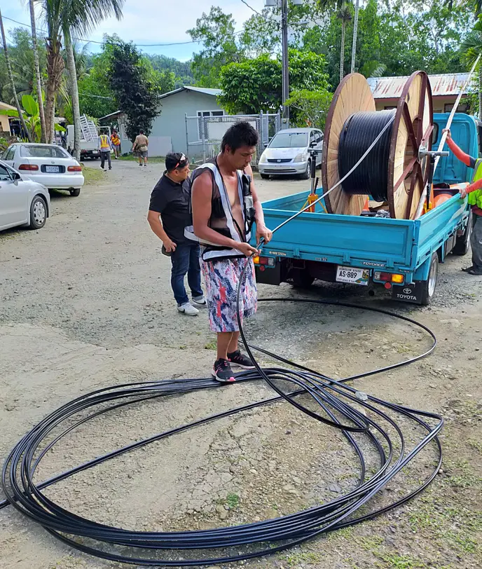
Intersection access, backbone fiber, switching and resilient delivery to the control center.
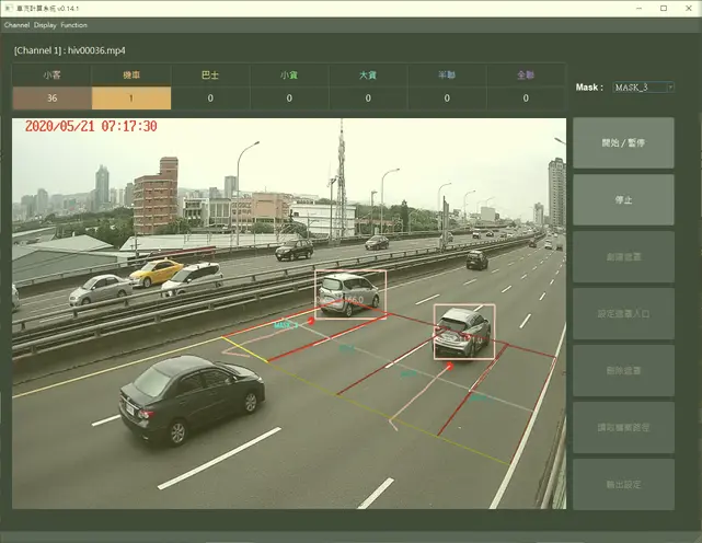
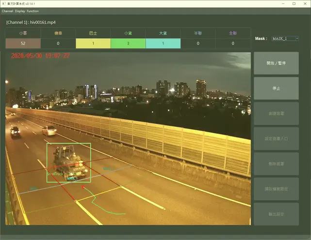
Real-time plate tracking, vehicle attributes, event matching, video retrieval and cross-area integration.
Camera, host and intersection status displayed with live video and case trajectories.
Health checks, alerts, recognition statistics, permissions, audit records and maintenance workflows.
REAL FACILITIES
GOVERNMENT AGENCY · MONITORING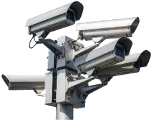 GOVERNMENT AGENCY · MONITORING
 GOVERNMENT AGENCY · MONITORING
 GOVERNMENT AGENCY · MONITORING
 GOVERNMENT AGENCY · MONITORING
 GOVERNMENT AGENCY · MONITORING
 GOVERNMENT AGENCY · MONITORING
 GOVERNMENT AGENCY · MONITORING
PROJECT INQUIRY
Share the coverage area, camera count, existing network, retention period, analytics requirements and control-room conditions.